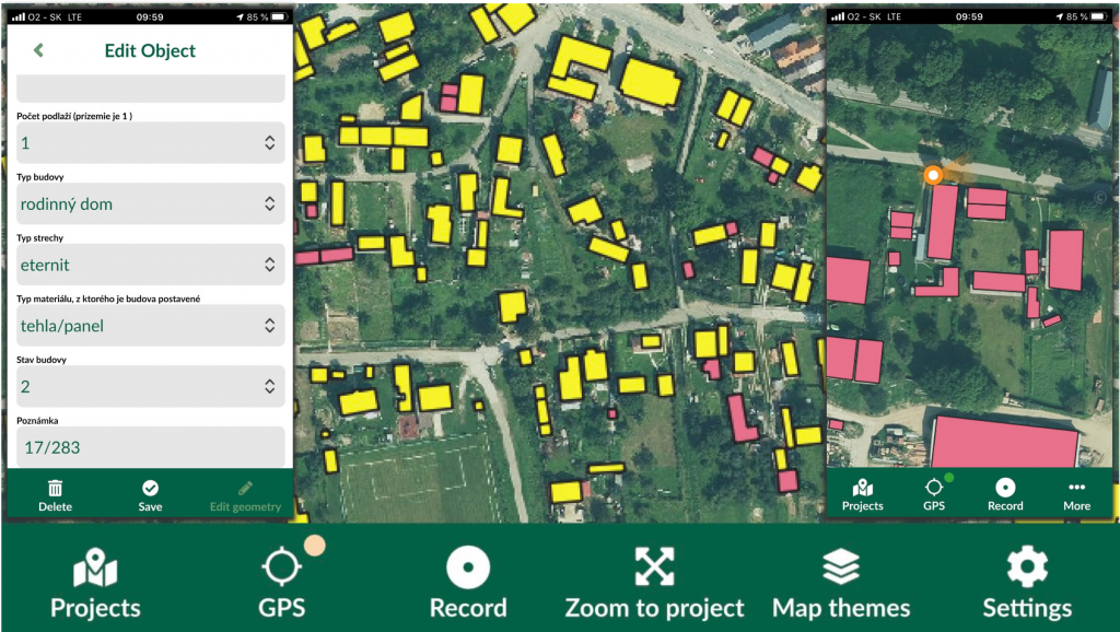
Conducting field mapping activities with Mergin Maps
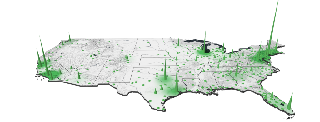
Geovisualizations
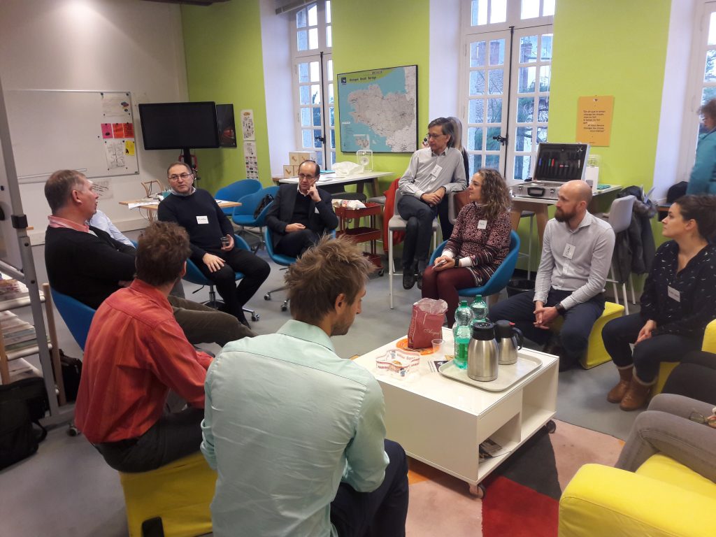
Implementation of spatial data infrastructure (SDI)
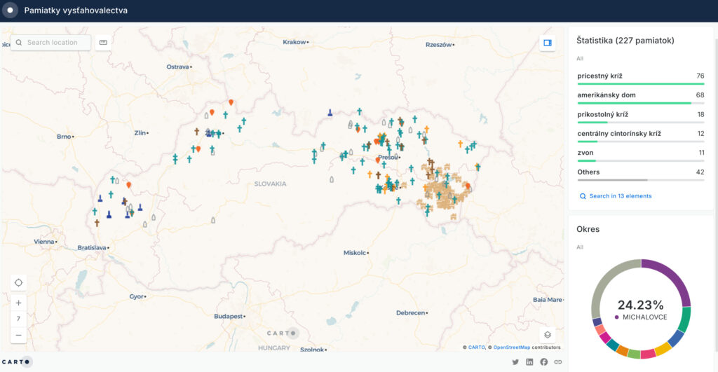
Processing of spatial information & webmapping deployment

“What is the point of being alive if you don’t at least
try to do something remarkable?”
JANET MORRIS