UPLAN
„What can I build on my plot? An answer in seconds, not weeks.“
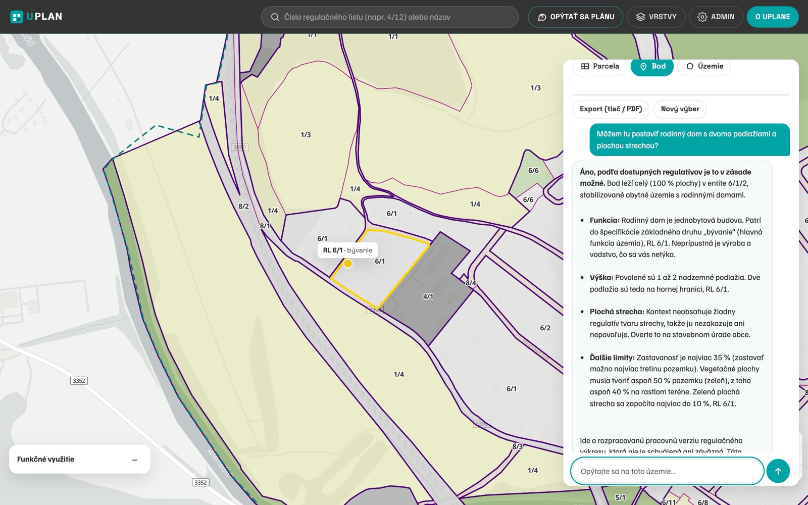
UPLAN is our new product for municipal spatial planning. The planner publishes the regulatory drawing of the municipal zoning plan, prepared in the national data template of the Slovak Office for Spatial Planning and Construction, either with the UPLAN plugin straight from QGIS or by uploading the file in the admin interface. A geodatabase or GeoPackage from ArcGIS Pro works too. UPLAN turns the drawing into a web map at the municipality's own address. Citizens, investors, architects and the building authority click a parcel and get the regulation sheet, the binding land-use and building regulations and a printable planning information statement. The assistant answers in Slovak strictly from the plan's regulations and always cites the regulation sheet number. While the plan is being drafted, the planner uploads working versions and UPLAN checks topology and attributes and shows what needs fixing. The data belong to the municipality and can be exported at any time in the same format that is submitted to the national spatial planning information system. UPLAN follows Slovak Act No. 200/2022 on spatial planning and Decree No. 153/2024.
What it includes
- The regulatory drawing on the web – via the UPLAN QGIS plugin or a direct upload in the admin interface, ArcGIS Pro included
- A regulation sheet for every zone and planning information for any cadastral parcel in one click
- An assistant that answers only from the plan's regulations and cites the sheet number
- Built on the national ÚÚPV data template, with topology checks and draft versions while the plan is prepared
Frequently asked questions
How do we publish a municipal zoning plan online?
With the UPLAN plugin in QGIS in one click, or by uploading the drawing in the municipality's admin interface – from QGIS or ArcGIS Pro. UPLAN publishes it as a web map at the municipality's address. With a drawing in the ÚÚPV template this takes days.
We prepare the zoning plan in ArcGIS Pro. Can we use UPLAN?
Yes. Upload the geodatabase (.gdb) as a ZIP or a GeoPackage exported from ArcGIS Pro, built from the ÚÚPV template files. UPLAN translates domains and codelist codes to the template's text values and converts coordinates to JTSK03. The municipality needs neither ArcGIS Enterprise nor ArcGIS Online to publish.
Our zoning plan only exists as PDF or CAD. Can we use it?
Yes. We convert an older plan to vector data in the ÚÚPV template and publish it. A new plan under Act No. 200/2022 is already delivered in this standard.
Is the assistant legally binding?
No. The assistant is informative and answers only from the plan's regulations with a reference to the sheet. The binding document is the binding part of the plan approved by the council.
Does UPLAN replace the national spatial planning system?
No. UPLAN is the municipality's publishing layer. The state receives the same data and UPLAN turns them into a clear service for citizens, the authority and planners.